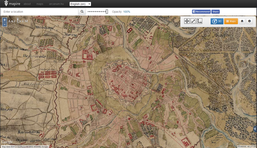
Mapire is an inspiring online map that enables the user to navigate through historical maps of the Habsburg empire. It includes different military surveys (first military survey (1764-1784), second military survey (1806-1869), third military survey (1869-1887)) and additionally the cadastral maps of Croatia and Hungary. This a great collection of antique maps where you can move around in the old times and compare it with today as well through Google Maps, Google Earth and OpenStreetMap built-in layers.
Here, you can watch the presentation in order to learn more about the process of Creating Mapire by a developer of Mapire.